File:Glydon Upflight Level Plane.png: Difference between revisions
change license |
fix capitalization |
||
| Line 2: | Line 2: | ||
== Licensing == | == Licensing == | ||
{{ | {{CC BY-NC-SA 3.0}} | ||
Latest revision as of 00:33, 16 July 2023
A diagram of Glydon's level plane and reachable areas, used to visualize Glydon Upflight.
Licensing
| This image is licensed under the Creative Commons Attribution-NonCommercial-ShareAlike 3.0 license. |
File history
Click on a date/time to view the file as it appeared at that time.
| Date/Time | Thumbnail | Dimensions | User | Comment | |
|---|---|---|---|---|---|
| current | 03:49, 8 January 2023 | 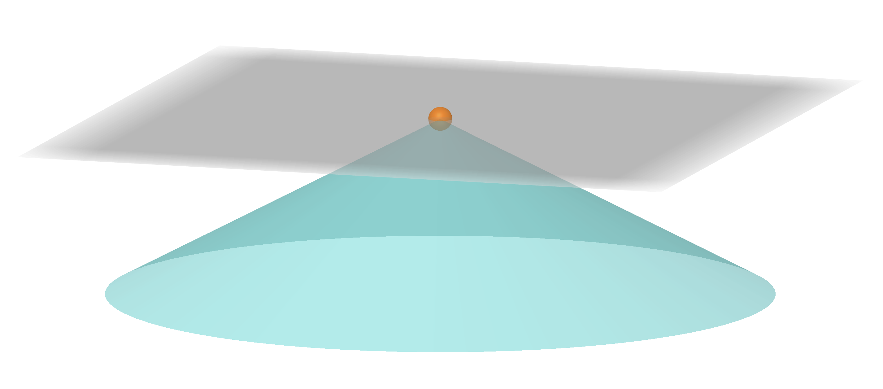 | 2,852 × 1,256 (237 KB) | Grady (talk | contribs) |
You cannot overwrite this file.
File usage
The following page uses this file: